| Thanks to Joe Whitney for initially providing this WWII era map of Tinian and to Jason Bishop, grandson of Sgt Julian E. Pencovic, Crew Chief, 39th Squadron, for a higher resolution version. The legend at the bottom indicates that this map was drawn by Sgt William C. "Bill" Goggins of the 6BG HQ Staff. |
|---|
WWII Map of Tinian
|
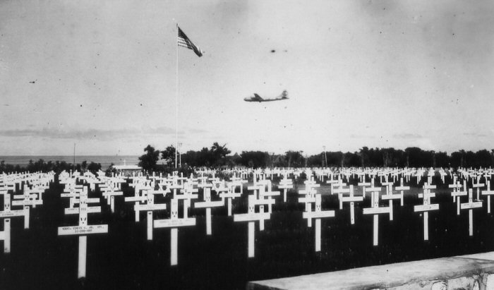
There were two major airfields on Tinian: the North Field and the West Field. Except for takeoffs and landings, the air crew spent very little time at the airfields. In contrast, the ground crews probably felt that they never left. The "Tokyo Bound" B-29, near the top (north) of the map, shows the location of North Field. Above that, "Soivice Wit a Smile", shows the location of the service areas. To the right, the "USO Gal" presumably shows the location of the USO. Below them, the bomb shows the location of the bomb dump for the North Field. (This looks like it is about the same location as the Seabee camp - perhaps they didn't know!) The tank in the upper left corner shows "Invasion Beach White" where the Marines first landed on the island and took control of the existing Japanese airfield. The Japanese were driven south. The landing craft "Land! Duck!" in the lower left side shows the second landing point near Tinian Town. (Duck is the nickname for the landing craft, officially designated a DUKW.) The Japanese soldier "Where's Honorable Navy" in the lower right shows where the Japanese made their last stand on Marpo Point ("Suicide Point"). The Marine on "Patrol" in the bottom, depicts the Marines who remained on Tinian and continued to look for Japanese holdouts. The flag below the tank in the upper left "Heros All" shows the location of the cemetery. Most, if not all, of the occupants were Marines who gave their lives liberating the island from the Japanese. Below the tank is Mt. Lasso (elevation 560 feet) where the "Radar" and "Nurses Post" are safely located. 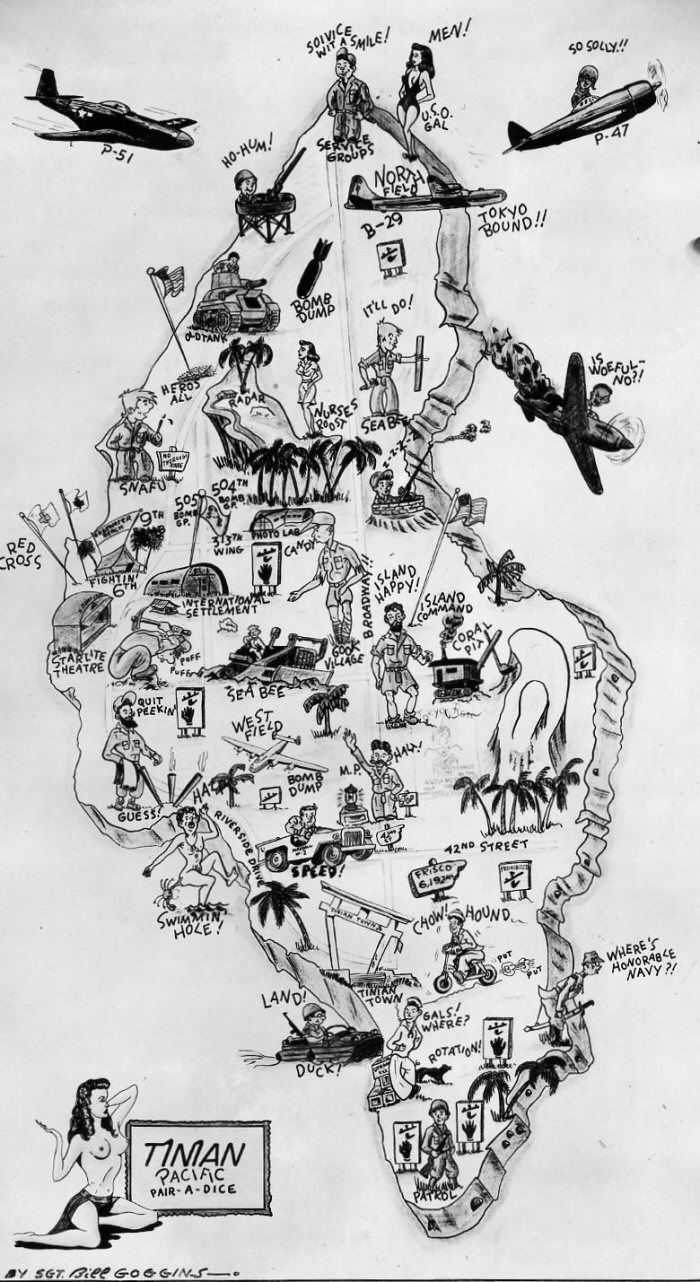
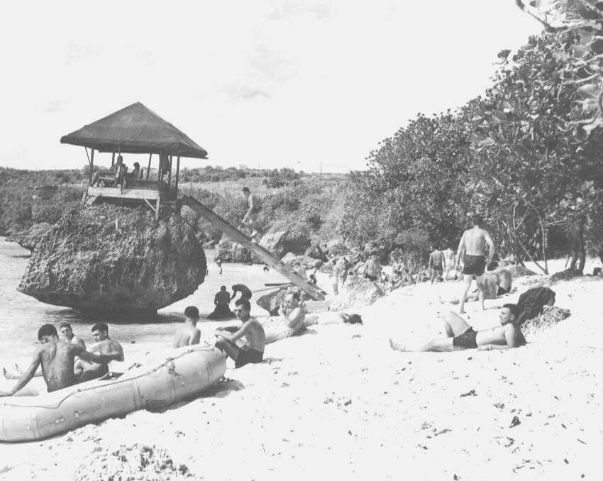
The "Broadway" written about the center of the island refers to the main divided road that ran north and south for the length of the island. The "42nd Street" shown below was the main road that ran east and west. The "M.P. Halt" is there to keep order on these busy streets, since there were no stoplights. These street names were used because Tinian was similar in size and shape to Manhattan Island, New York. (Some maps continue this theme by labeling the center of the island as "Central Park" and the northern part of the island as "Harlem".) On the center left (west) side of the island are shown the housing areas for the 313th Bomb Wing Groups, including the "Fightin' 6th", the "9th", the "504th Bomb Gp." and the "505th Bomb Gp.". The Red Cross facilities are to the left and the Photo Lab and International Settlement are to the right. Below is the "Starlight Theatre" where entertainers would visit the troops. Across the island to the right is the "Island Command". Next to that is the "Coral Pit", where the raw materials for the air base were mined. Just south of the center is the "West Field" and, below that, the "Bomb Dump". Several groups used the west field, including the 40th Bomb Group (part of the 58th Bomb Wing). The "Swimming Hole" on the lower left shows the location of the recreational beach. Above that is "Guess" at Gurguan Point. Below that is a sailor "Gals! Where? Rotation" which shows the location of the harbor. "Tinian Town", the main "city" on the island is just above the harbor. (You will note that the USO appears to have been placed as far as possible from the sailor- by design?) The Seabees ("Sea Bee") and anti-aircraft gun emplacements ("Ho-Hum!" and "Z-Z-Z-Z") are shown in various places on the island. The Seabees were everywhere, building airfields and all the other facilities needed to wage war. The men in the gun emplacements protected the work of the Seabees, but business was slow. |
|---|